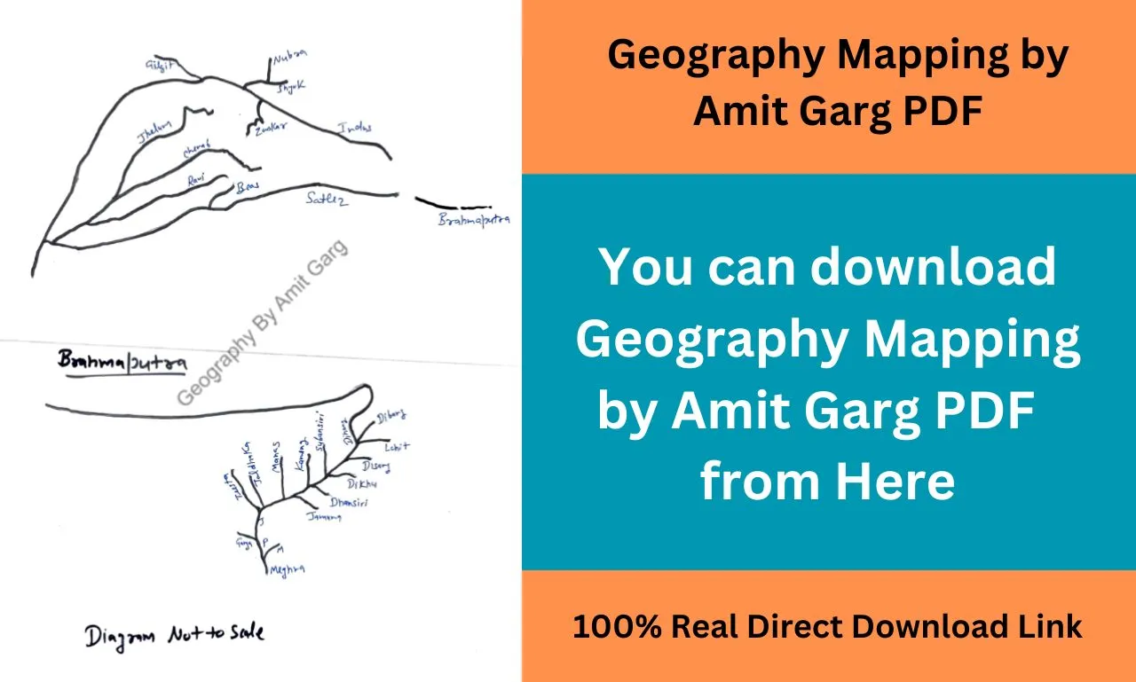
Geography Mapping by Amit Garg PDF: Here we will share the complete notes of Geography Mapping prepared by Amit Garg Sir in PDF format, which you can download for free using the direct download link given below.
Geography Mapping by Amit Garg PDF
| PDF Name | Geography Mapping by Amit Garg PDF |
| Language | English |
| No. of Pages | 111 |
| PDF Size | 13 MB |
| Category | UPSC |
| Quality | Printable |
| Source | Public Domain |
Geography Mapping by Amit Garg PDF Summary
Hello friends, through today’s article we will share with you the notes of Geography Mapping in PDF format which has been prepared by Amit Garg sir.
For your information, let me tell you that Amit Garg Sir has prepared these notes on the basis of UPSC syllabus, hence if you study these notes well then you can answer the questions of this subject in any examination. |
In these notes, all the information related to Geography Mapping has been explained in a systematic manner and in great detail so that you do not face any problem in understanding.
The most important thing is that you can download and read these notes of Geography Mapping absolutely free of cost.
Topics Covered in this Notes:
- Physical Geography:
- Maps depicting the major physical features of the world, such as mountain ranges (Himalayas, Andes), rivers (Amazon, Nile), deserts (Sahara, Gobi), and plate boundaries (tectonic boundaries).
- Indian Geography:
- Maps of India highlighting its physical features, states and union territories, major rivers, mountain ranges, and important cities.
- Regional maps showing climatic zones, vegetation types, and natural resources.
- World Geography:
- Maps depicting important global phenomena, such as ocean currents, prevailing winds, and climatic zones.
- Maps showing distribution patterns of natural disasters like earthquakes, volcanoes, and hurricanes.
- Environmental Geography:
- Maps illustrating environmental issues and phenomena, such as deforestation, air pollution, and ocean pollution.
- Maps representing ecosystems and biodiversity hotspots around the world.
- Geopolitical Maps:
- Maps displaying the political boundaries of countries, regions in conflict, and international organizations.
- Maps related to geopolitical issues, such as disputed territories, migration routes, and refugee movements.
- Historical Geography:
- Maps depicting historical trade routes (e.g., Silk Road), empires (e.g., Roman Empire), and colonization.
- Maps related to historical events, migrations, and settlements.
- Geographical Information Systems (GIS):
- Understanding the basics of GIS technology and its applications in various fields, including urban planning, disaster management, and resource allocation.
- Census Data and Demographic Mapping:
- Analyzing and interpreting population maps and demographic data to understand population distribution, growth, and migration patterns.
- Land Use and Urban Planning:
- Maps showing urban sprawl, land-use planning, and infrastructure development in cities and regions.
- Understanding transportation networks and transit maps.
- Climate Change and Environmental Impact Assessment:
- Maps depicting the impact of climate change, such as rising sea levels and changing temperature patterns.
- Environmental impact assessment maps for projects related to infrastructure, mining, and industry.
- Natural Resource Mapping:
- Maps displaying the distribution of natural resources like minerals, forests, water bodies, and agricultural land.
Geography Mapping by Amit Garg PDF Download Link
Related PDF-
UPSC Statistics Optional Syllabus PDF For IAS Mains Topic Wise
